
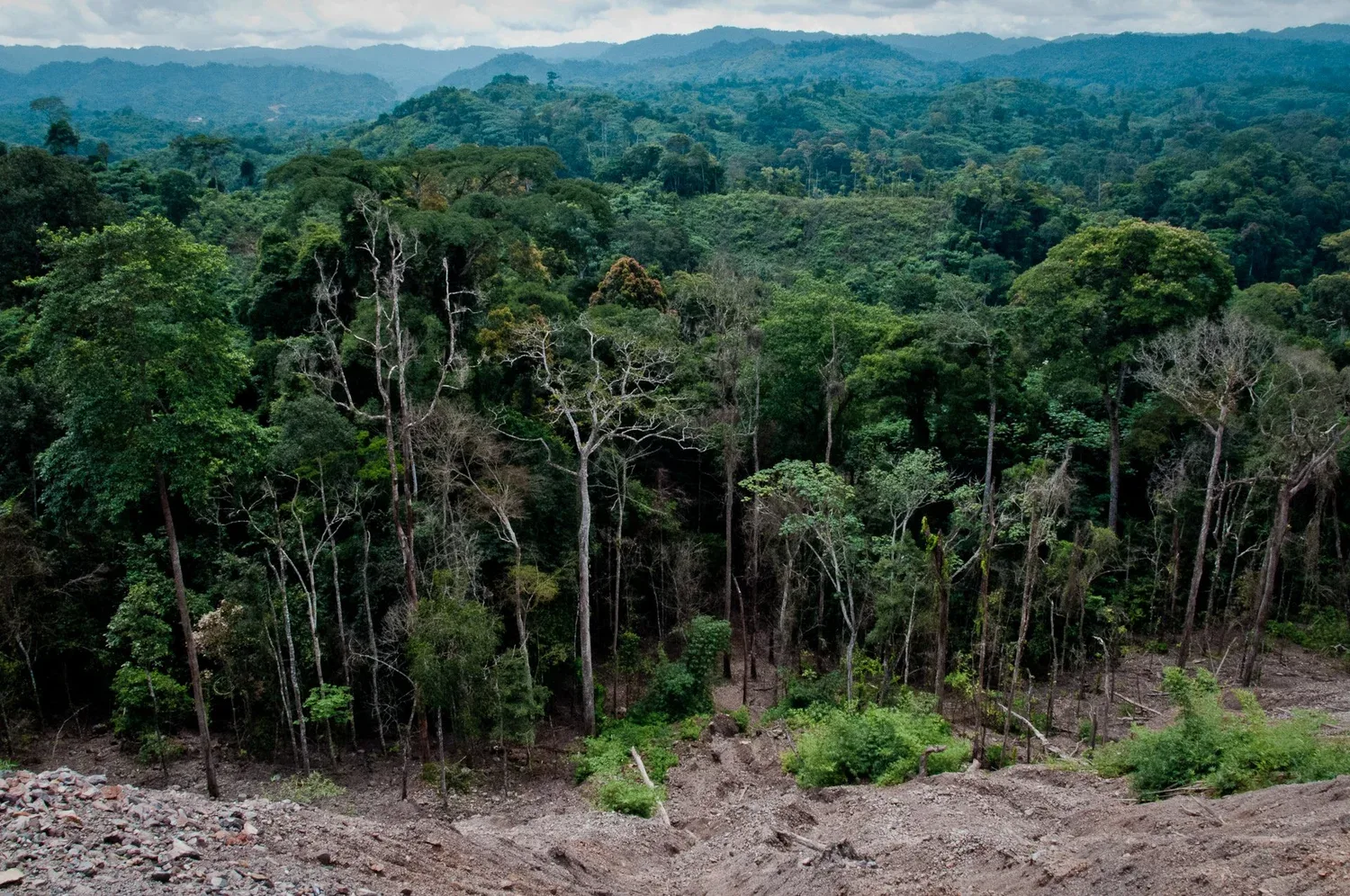
Deforestation
Satellites show the loss after the fact. Anyone who wants to intervene has to know while it is happening.
Illegal logging usually only becomes visible once the forest is already gone. Satellite imagery shows the loss after the fact; anyone who wants to intervene has to know that something is happening at the moment it happens.
Illegal logging is organised work. Companies push into protected territory on forged permits, ownership claims and transport papers, and they arrive with heavy machinery. A single truck or excavator cuts a road deep into the forest in very little time, and that road is permanent: it opens the area up for everything that follows.
The people defending that forest cannot be everywhere at once. Territories are vast, densely overgrown and hard to reach. Indigenous communities guard them with teams who patrol, gather evidence and confront intruders peacefully, and that approach works: where they find loggers, the work usually stops. But a patrol covers one route at a time, and the companies come back.
The tools for closing that gap all look backwards. Satellite imagery shows loss once the forest is already gone, days to weeks later and only when the cloud cover cooperates. Camera traps do record who drove in, but have to be read out by hand. Both deliver evidence for later. What the teams on the ground need is the message while the truck is still in the area, because that is the only moment intervention changes anything.
What we built for it
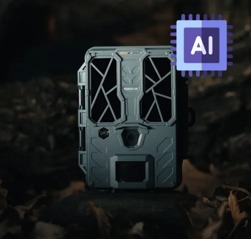
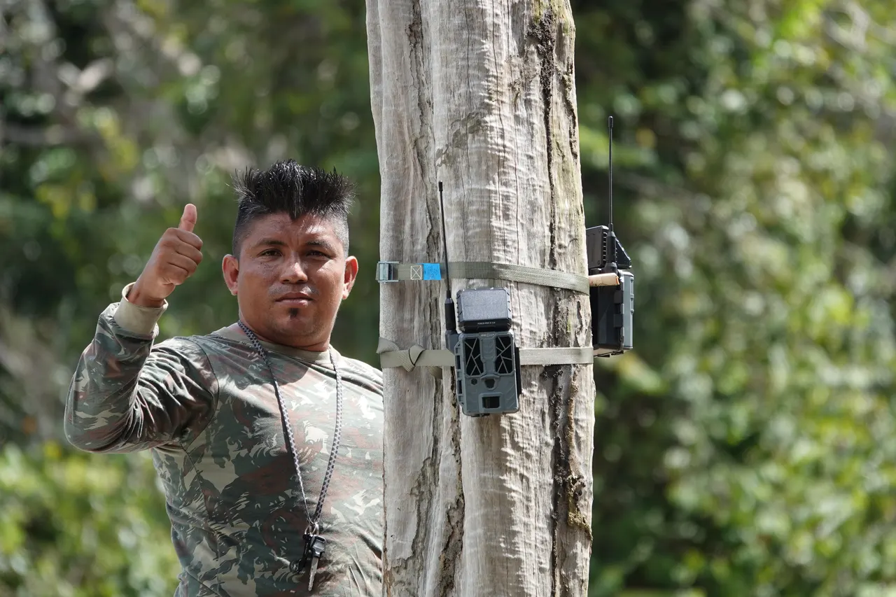
We place Instant Detect cameras along the access roads logging companies use. The moment a vehicle triggers one, the image goes out over satellite immediately: a photo, a location and a timestamp, in the hands of the guardians while the truck is still in the area.
Being seen turns out to matter as much as the evidence. In the Amazon, images from the first cameras were circulating through the community by WhatsApp on day one. Whoever drives into a protected area is no longer anonymous.
The work in Brazil is done with Treesistance, an Indigenous-led movement of Stichting Sinchi: thirteen Indigenous territories and more than one and a half million hectares of rainforest and cerrado, guarded by Forest Guardians. Installation and maintenance we build up together, towards a fully Indigenous technical team.
Where it runs today
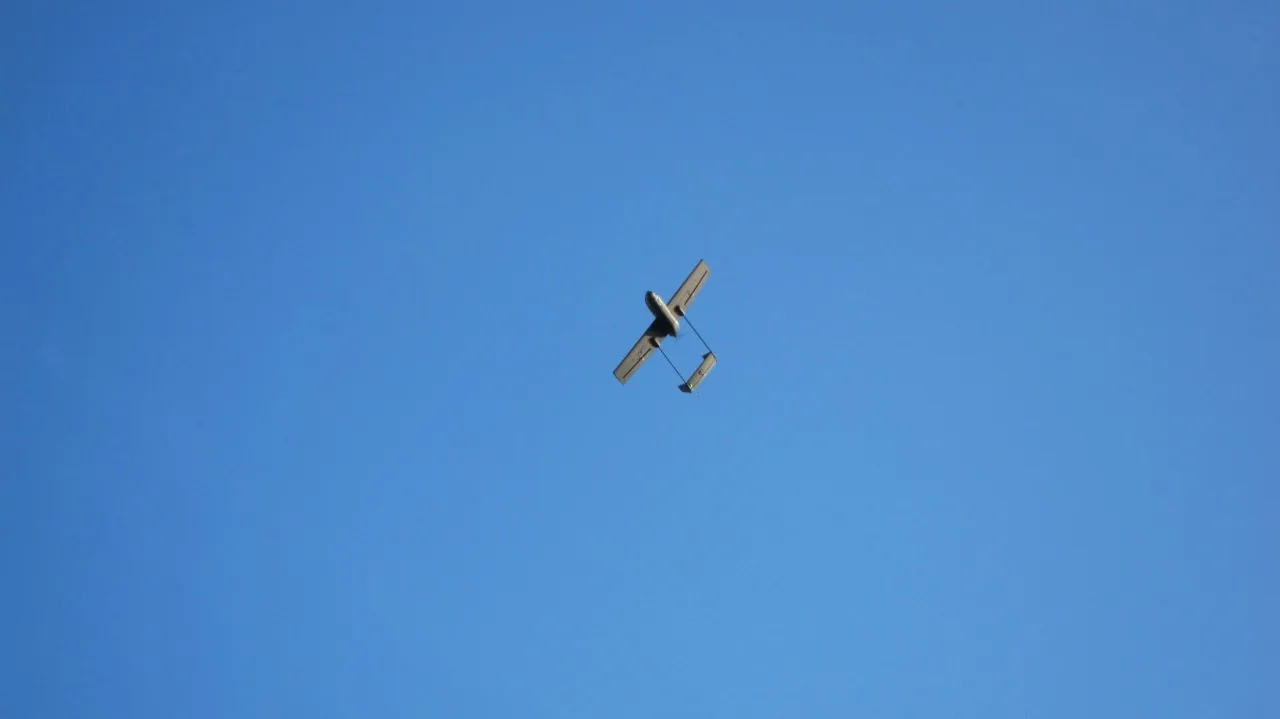
From an autonomous drone over Indonesia in 2016 to a camera network in Indigenous territory in Brazil.
Who we do it with
Organisations and communities defending forest they live in and depend on.

Greenpeace
Global environmental advocacy organisation, and where Hack The Planet's story started. Our very first project, SkyHawq (2016), was an autonomous drone built with Greenpeace to support their field work against deforestation and environmental destruction.
Visit website →
Treesistance
Indigenous-led movement protecting Amazon forests by equipping Forest Guardians to surveil illegal activity in their territory. We help them with the detection side, turning early warning of illegal logging into evidence their patrols can act on.
Visit website →The other conservation themes
Protecting forest against illegal logging?
If your team patrols a territory under pressure and needs to know sooner, we would like to hear how you work. The technology is only useful if it fits that.